
the future is in the air.
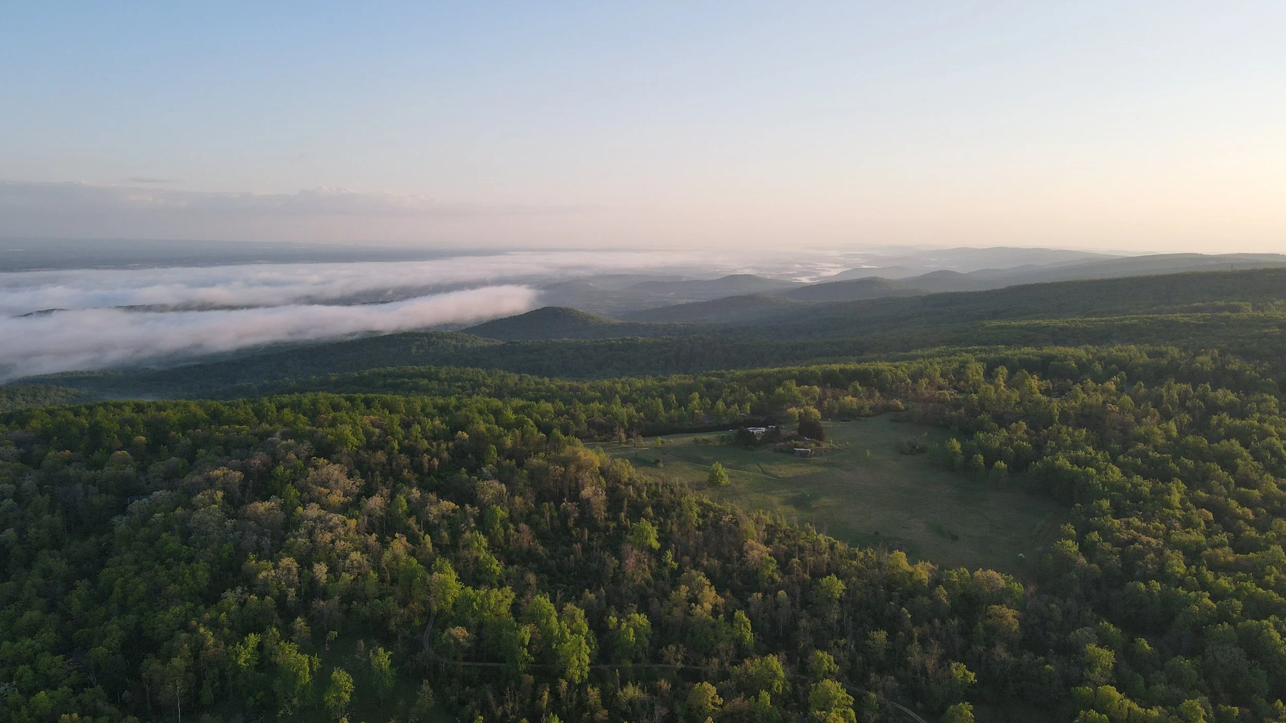
Linn Aerials provides professional commercial drone services delivering high-resolution aerial imaging, inspections, mapping, and advanced data solutions across New Jersey. We help contractors, developers, engineers, and property owners document sites, monitor progress, and make informed decisions through accurate, compliant, and reliable aerial data captured safely and delivered with clarity.
Every flight is planned around what you actually need to see, measure, or communicate. No excess footage. No guesswork. Just precision aerial data built to support real-world decisions in hard-to-access environments.
Professional Aerial Data for Clear, Confident Decisions
-
Aerial imaging & visual documentation
Construction & development support
Inspection & condition reporting Mapping & site visualization
-
Progress & Timeline Documentation Time-lapse aerials
Marketing & Promotional Media High-impact drone photos and videos
Utility & Infrastructure Observation, Visual inspections
Municipal & Public Sector Support Aerial data collection
Site Documentation